| Name | Last Modified | Size | DAP Response Links | Dataset Viewers | |||||
|---|---|---|---|---|---|---|---|---|---|
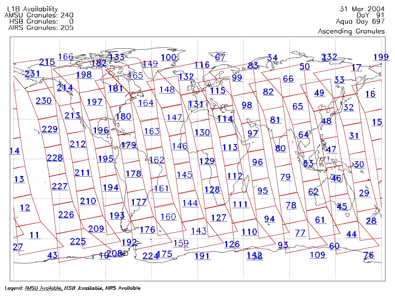
| AIRS.2004.03.31.GranuleMap.Ascending.jpg | 2012-06-06T18:01:22GMT | 622985 |
|
||||||
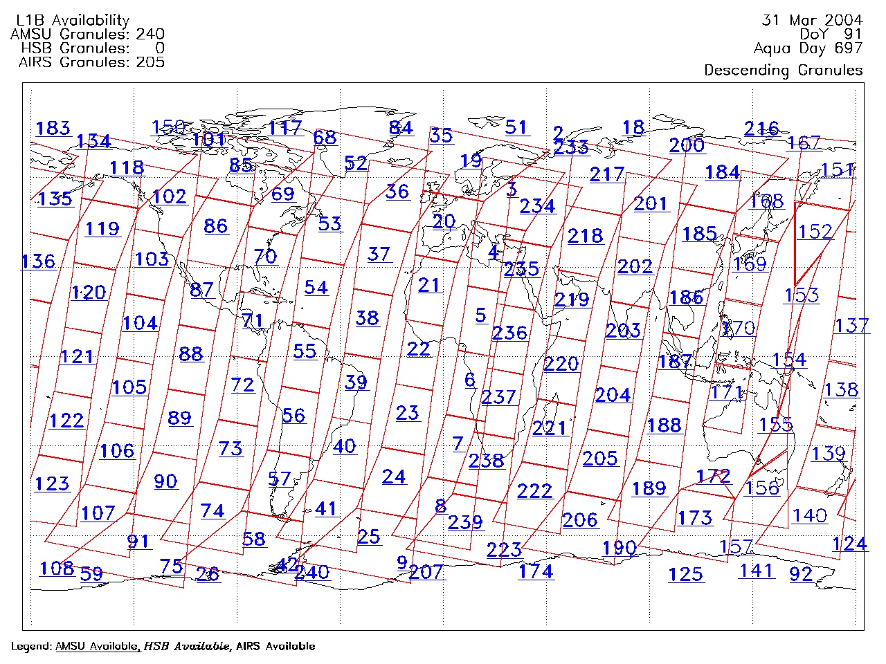
| AIRS.2004.03.31.GranuleMap.Descending.jpg | 2012-06-06T18:01:23GMT | 650033 |
|
||||||
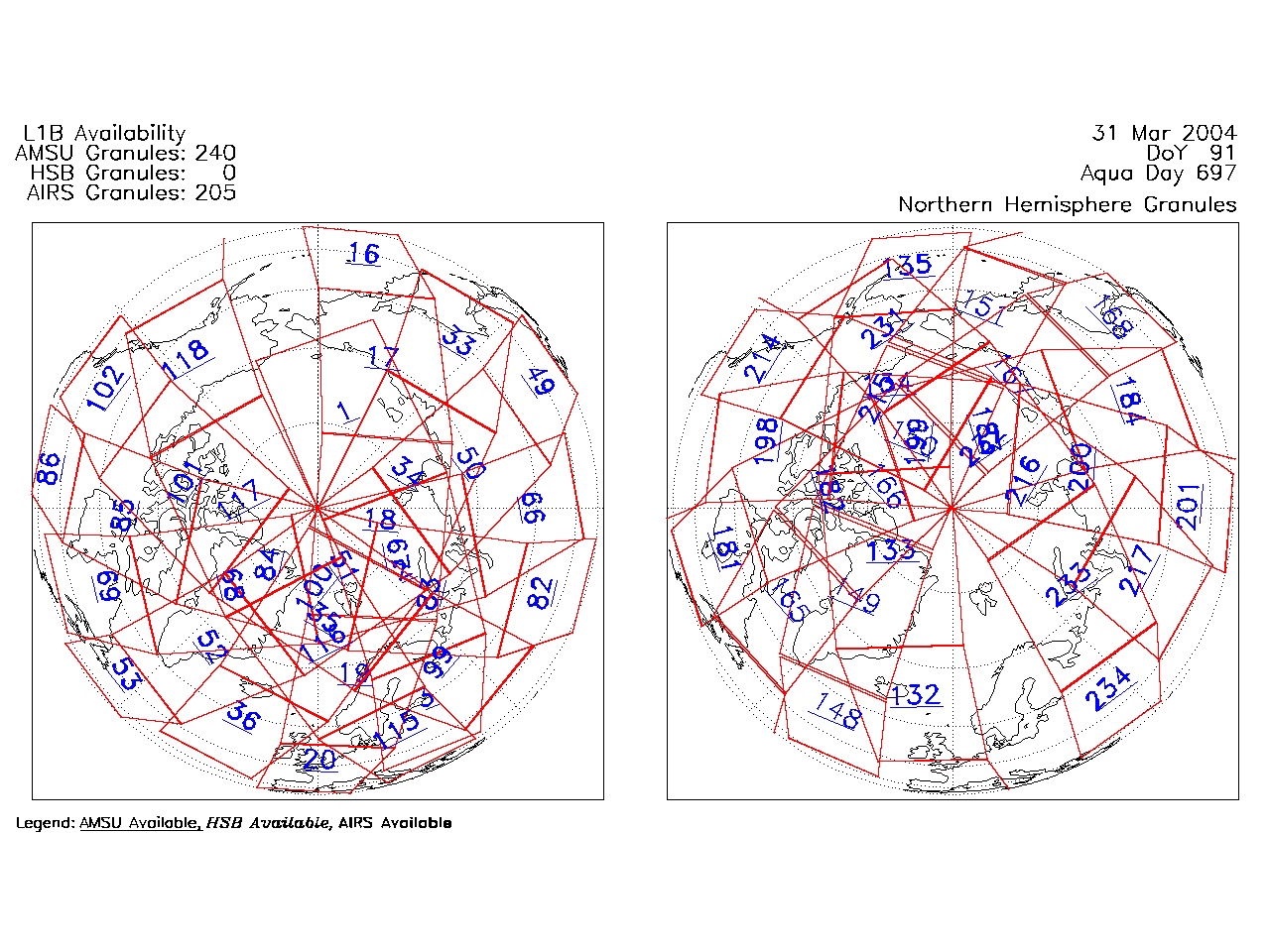
| AIRS.2004.03.31.GranuleMap.North.jpg | 2012-06-06T18:01:23GMT | 529083 |
|
||||||
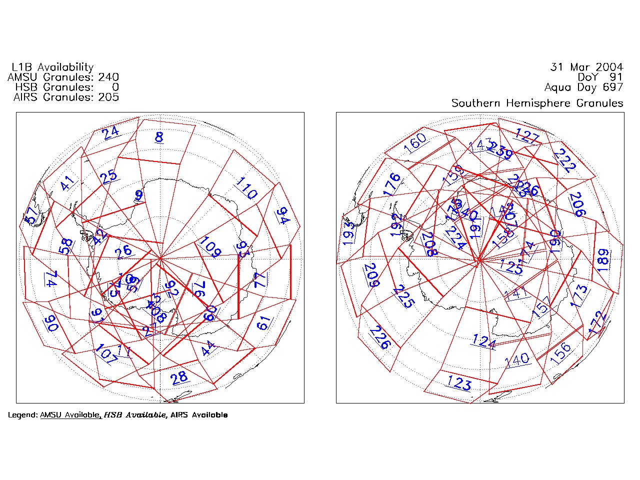
| AIRS.2004.03.31.GranuleMap.South.jpg | 2012-06-06T18:01:23GMT | 501936 |
|
||||||
| AIRS.2004.03.31.GranuleMap.pdf | 2012-06-06T18:01:22GMT | 333224 |
|
||||||
| AIRS.2004.03.31.GranuleMap.xml | 2012-06-06T18:01:23GMT | 2535 |
|
|
THREDDS Catalog XML
|