| Name | Last Modified | Size | DAP Response Links | Dataset Viewers | |||||
|---|---|---|---|---|---|---|---|---|---|
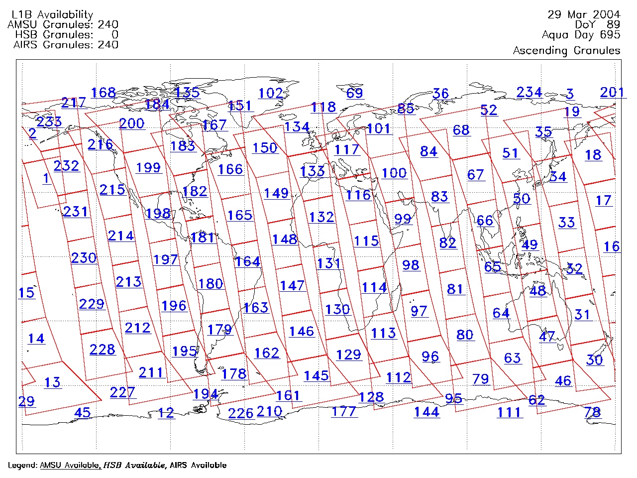
| AIRS.2004.03.29.GranuleMap.Ascending.jpg | 2012-06-06T18:01:17GMT | 628603 |
|
||||||
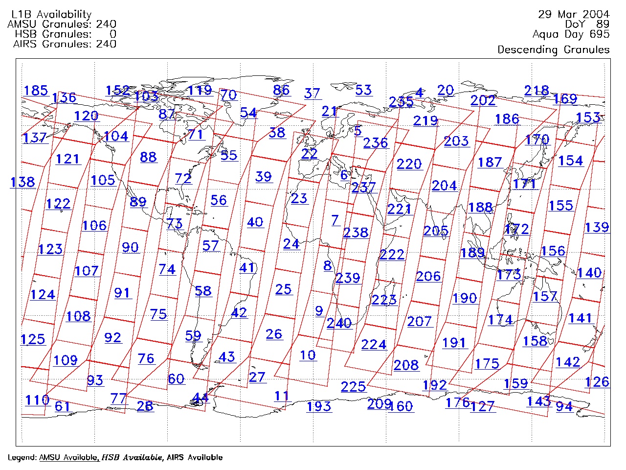
| AIRS.2004.03.29.GranuleMap.Descending.jpg | 2012-06-06T18:01:17GMT | 654457 |
|
||||||
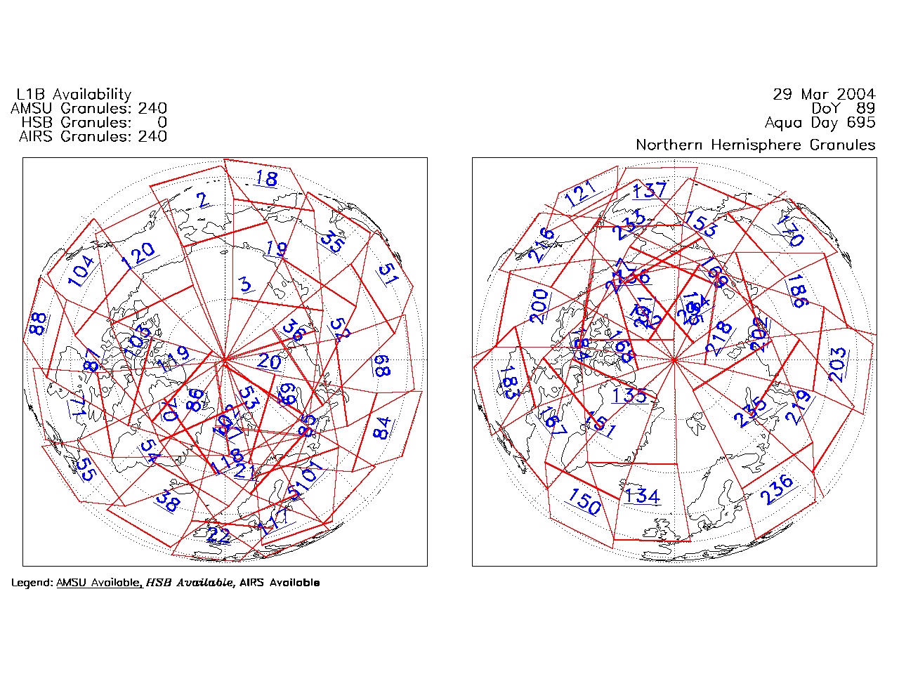
| AIRS.2004.03.29.GranuleMap.North.jpg | 2012-06-06T18:01:17GMT | 536518 |
|
||||||
| AIRS.2004.03.29.GranuleMap.South.jpg | 2012-06-06T18:01:17GMT | 494224 |
|
||||||
| AIRS.2004.03.29.GranuleMap.pdf | 2012-06-06T18:01:17GMT | 333397 |
|
||||||
| AIRS.2004.03.29.GranuleMap.xml | 2012-06-06T18:01:17GMT | 2535 |
|
|
THREDDS Catalog XML
|