| Name | Last Modified | Size | DAP Response Links | Dataset Viewers | |||||
|---|---|---|---|---|---|---|---|---|---|
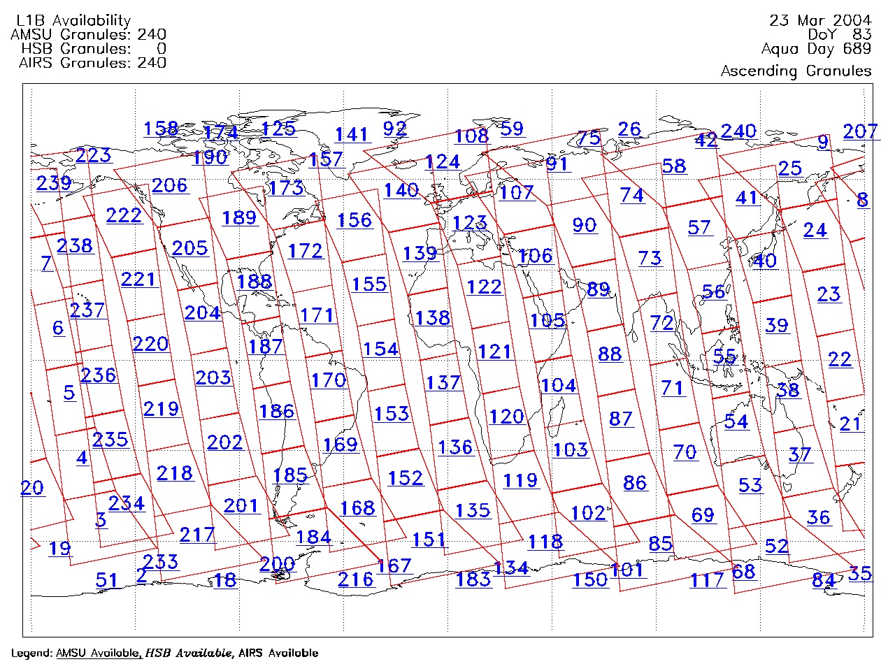
| AIRS.2004.03.23.GranuleMap.Ascending.jpg | 2012-06-06T18:01:07GMT | 655984 |
|
||||||
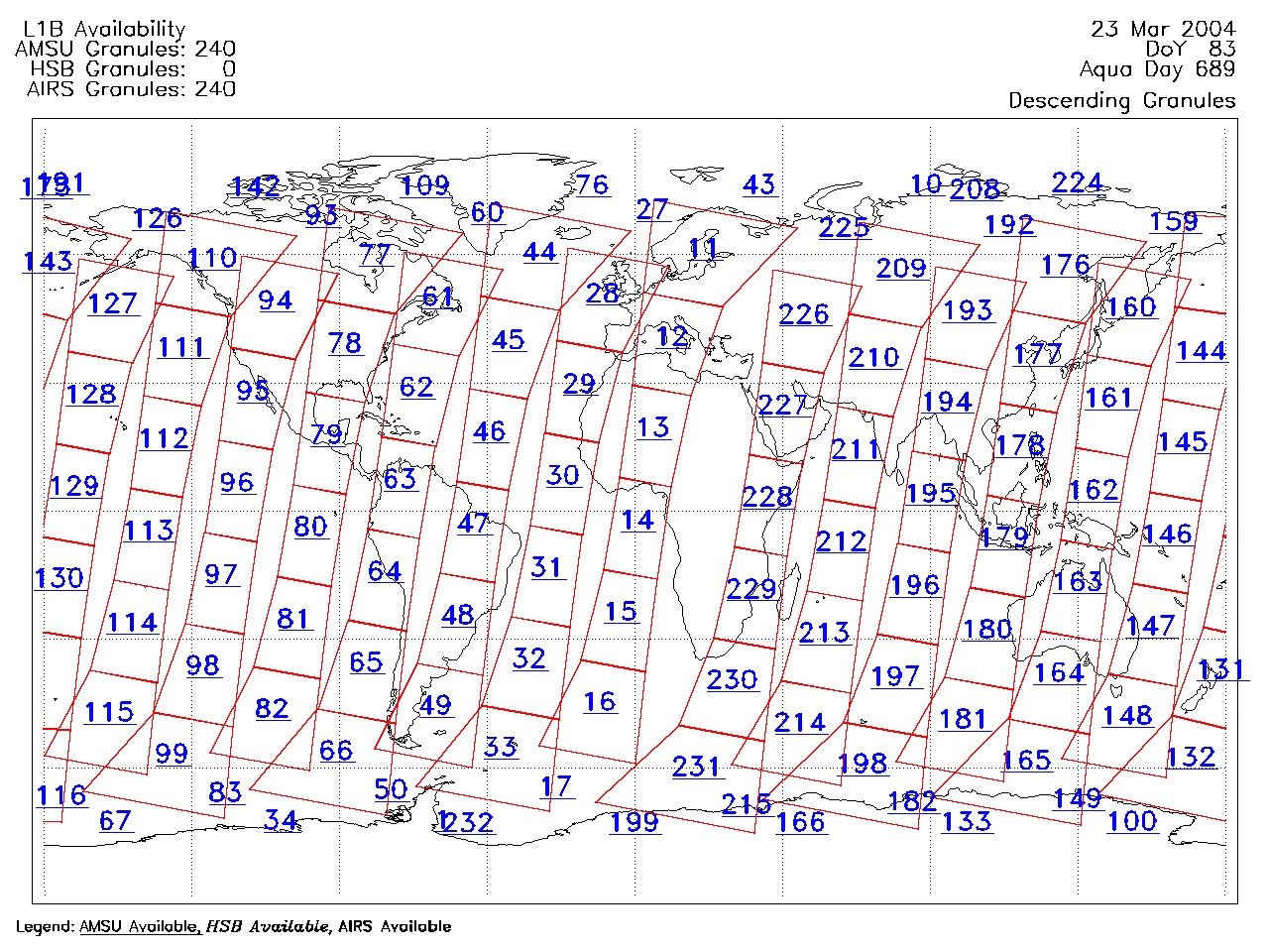
| AIRS.2004.03.23.GranuleMap.Descending.jpg | 2012-06-06T18:01:07GMT | 620316 |
|
||||||
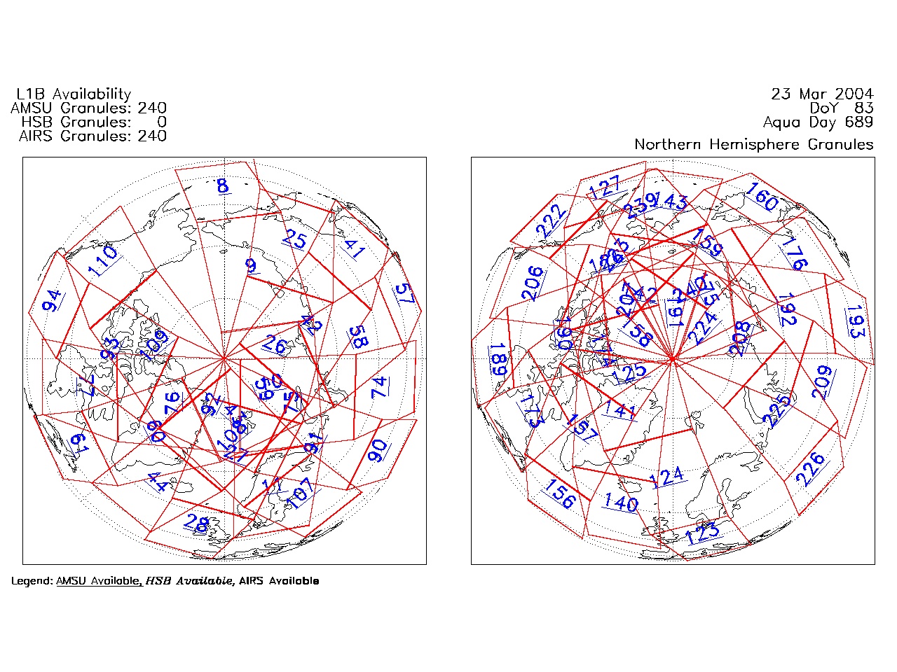
| AIRS.2004.03.23.GranuleMap.North.jpg | 2012-06-06T18:01:07GMT | 529318 |
|
||||||
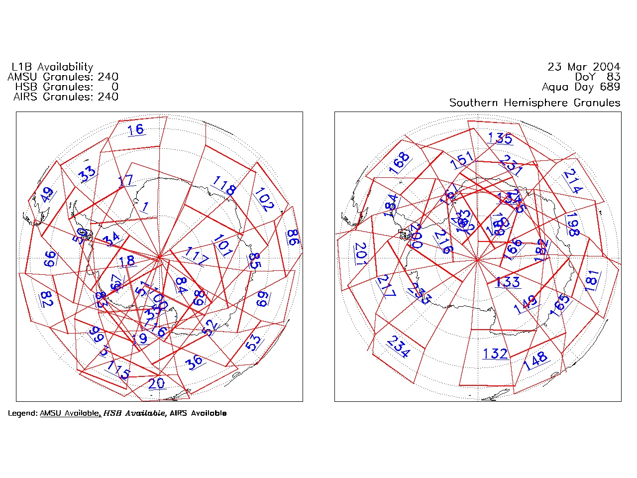
| AIRS.2004.03.23.GranuleMap.South.jpg | 2012-06-06T18:01:07GMT | 495845 |
|
||||||
| AIRS.2004.03.23.GranuleMap.pdf | 2012-06-06T18:01:07GMT | 332934 |
|
||||||
| AIRS.2004.03.23.GranuleMap.xml | 2012-06-06T18:01:07GMT | 2534 |
|
|
THREDDS Catalog XML
|