| Name | Last Modified | Size | DAP Response Links | Dataset Viewers | |||||
|---|---|---|---|---|---|---|---|---|---|
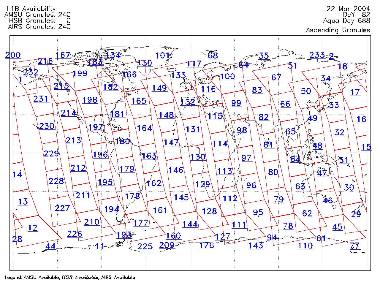
| AIRS.2004.03.22.GranuleMap.Ascending.jpg | 2012-06-06T18:01:07GMT | 624180 |
|
||||||
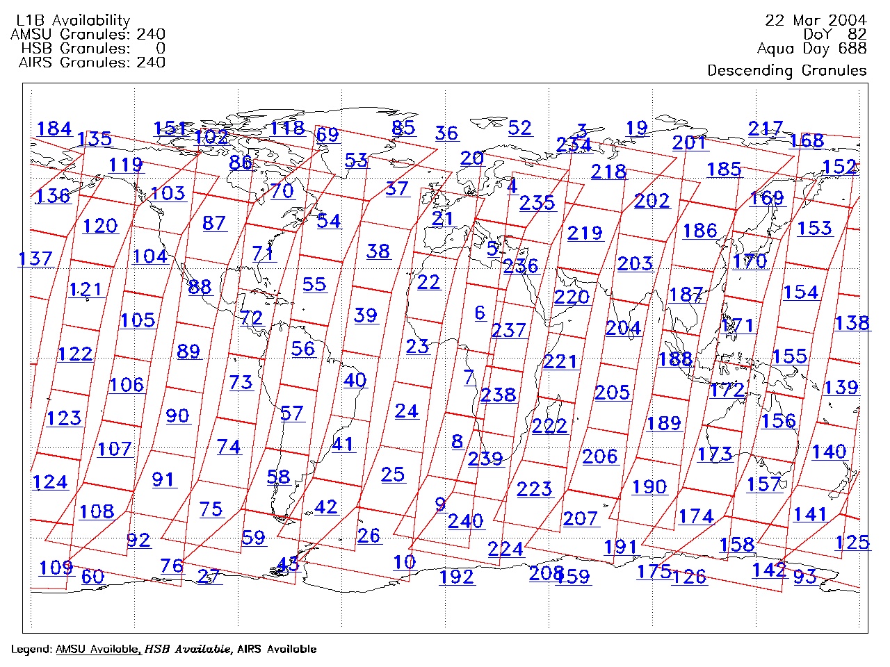
| AIRS.2004.03.22.GranuleMap.Descending.jpg | 2012-06-06T18:01:07GMT | 657455 |
|
||||||
| AIRS.2004.03.22.GranuleMap.North.jpg | 2012-06-06T18:01:07GMT | 537954 |
|
||||||
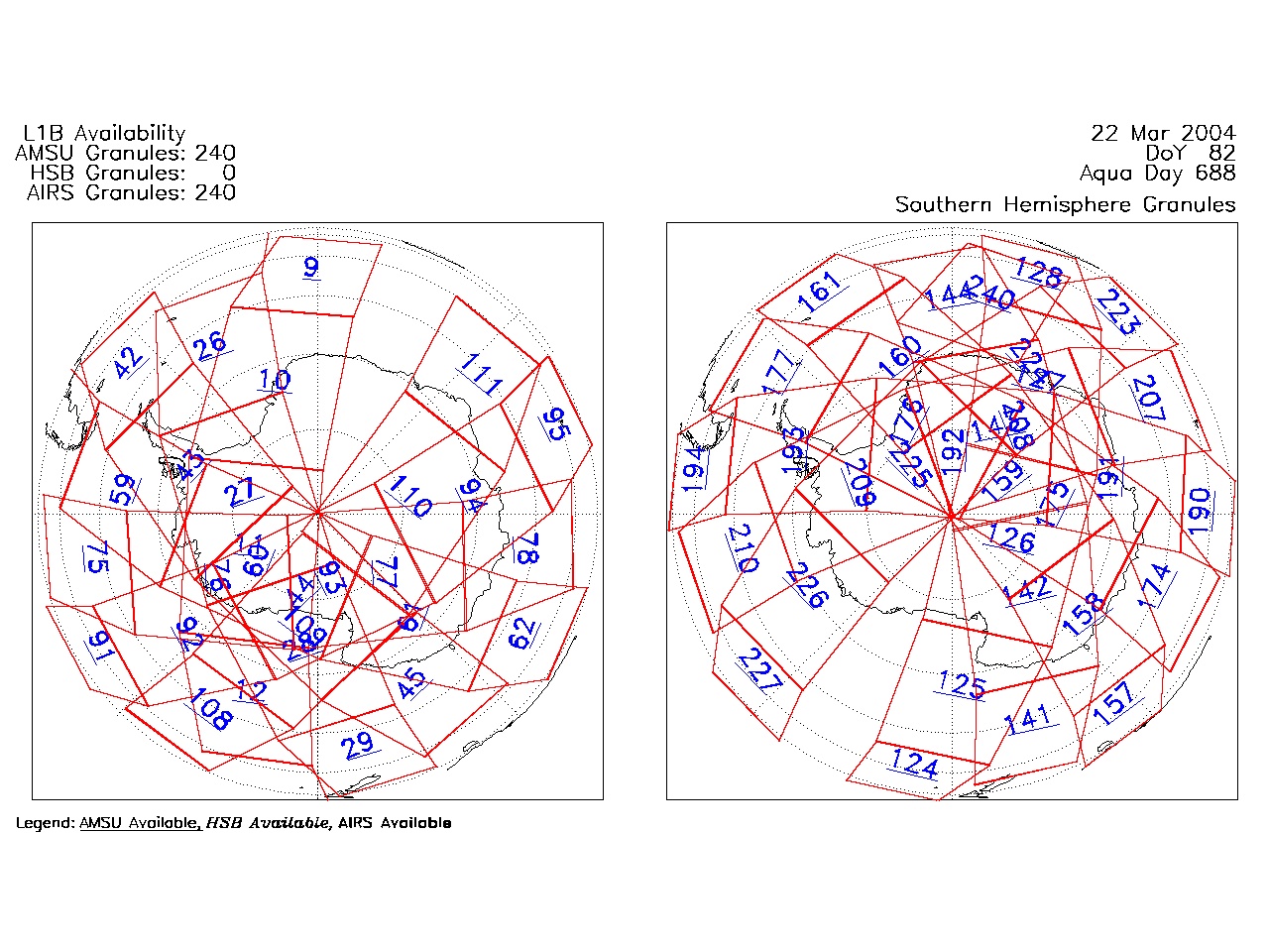
| AIRS.2004.03.22.GranuleMap.South.jpg | 2012-06-06T18:01:08GMT | 495276 |
|
||||||
| AIRS.2004.03.22.GranuleMap.pdf | 2012-06-06T18:01:07GMT | 333278 |
|
||||||
| AIRS.2004.03.22.GranuleMap.xml | 2012-06-06T18:01:08GMT | 2535 |
|
|
THREDDS Catalog XML
|