| Name | Last Modified | Size | DAP Response Links | Dataset Viewers | |||||
|---|---|---|---|---|---|---|---|---|---|
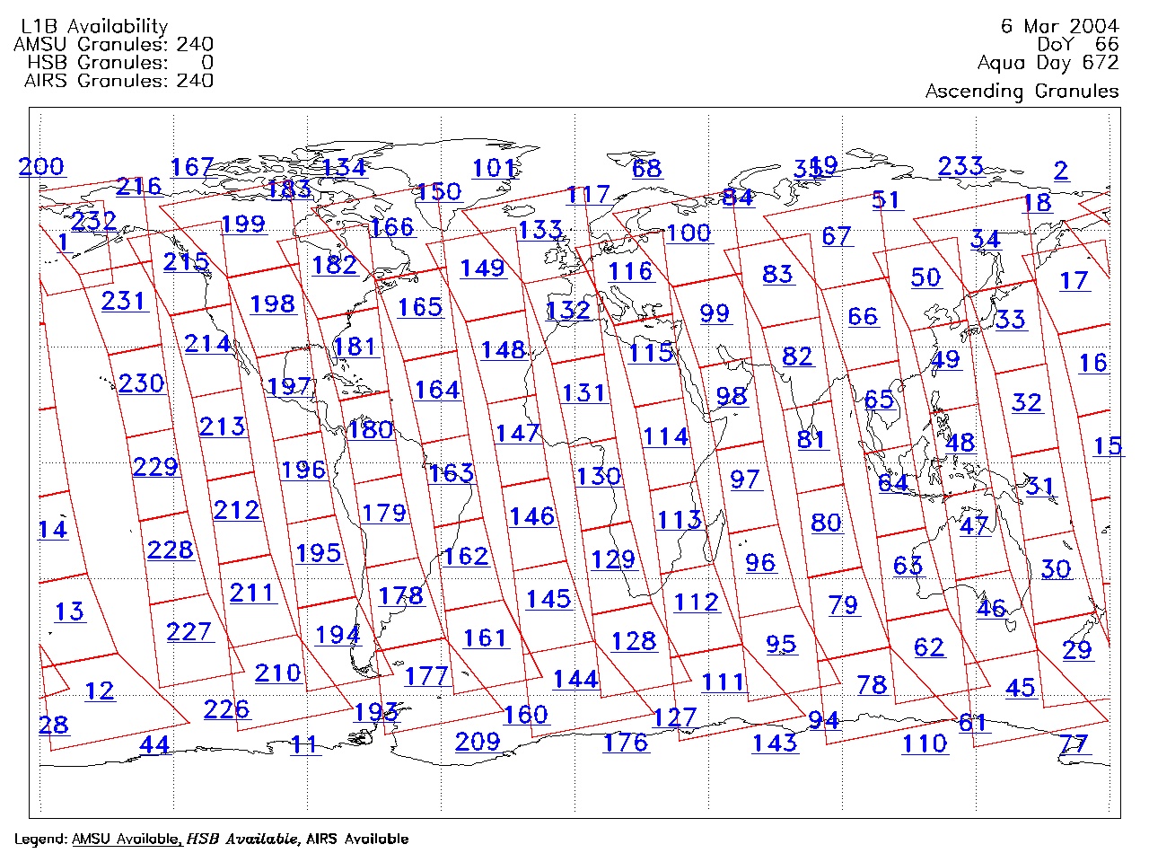
| AIRS.2004.03.06.GranuleMap.Ascending.jpg | 2012-06-06T18:00:42GMT | 623697 |
|
||||||
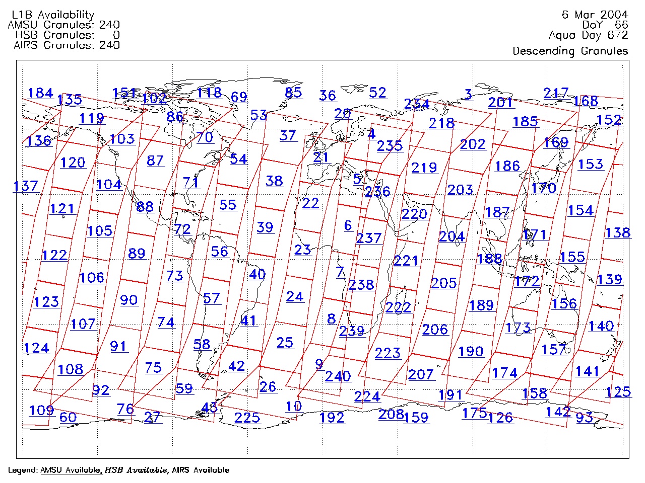
| AIRS.2004.03.06.GranuleMap.Descending.jpg | 2012-06-06T18:00:42GMT | 653773 |
|
||||||
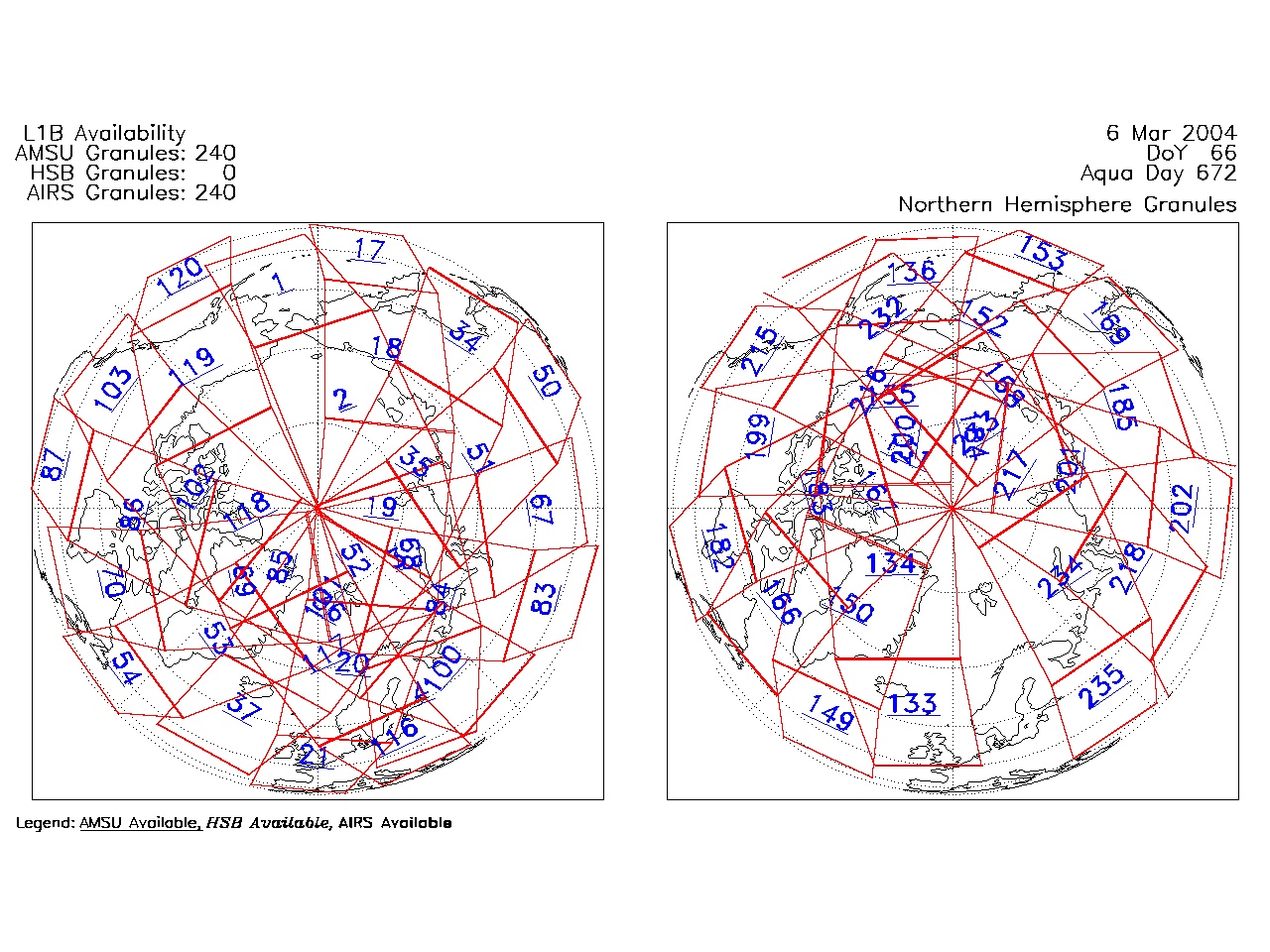
| AIRS.2004.03.06.GranuleMap.North.jpg | 2012-06-06T18:00:42GMT | 538853 |
|
||||||
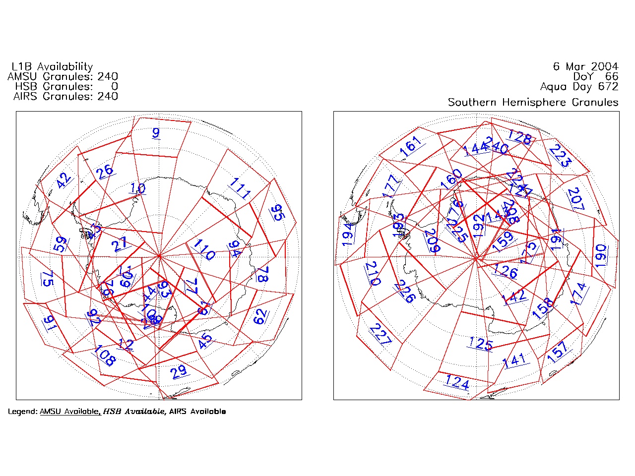
| AIRS.2004.03.06.GranuleMap.South.jpg | 2012-06-06T18:00:42GMT | 493165 |
|
||||||
| AIRS.2004.03.06.GranuleMap.pdf | 2012-06-06T18:00:41GMT | 333376 |
|
||||||
| AIRS.2004.03.06.GranuleMap.xml | 2012-06-06T18:00:42GMT | 2534 |
|
|
THREDDS Catalog XML
|