| Name | Last Modified | Size | DAP Response Links | Dataset Viewers | |||||
|---|---|---|---|---|---|---|---|---|---|
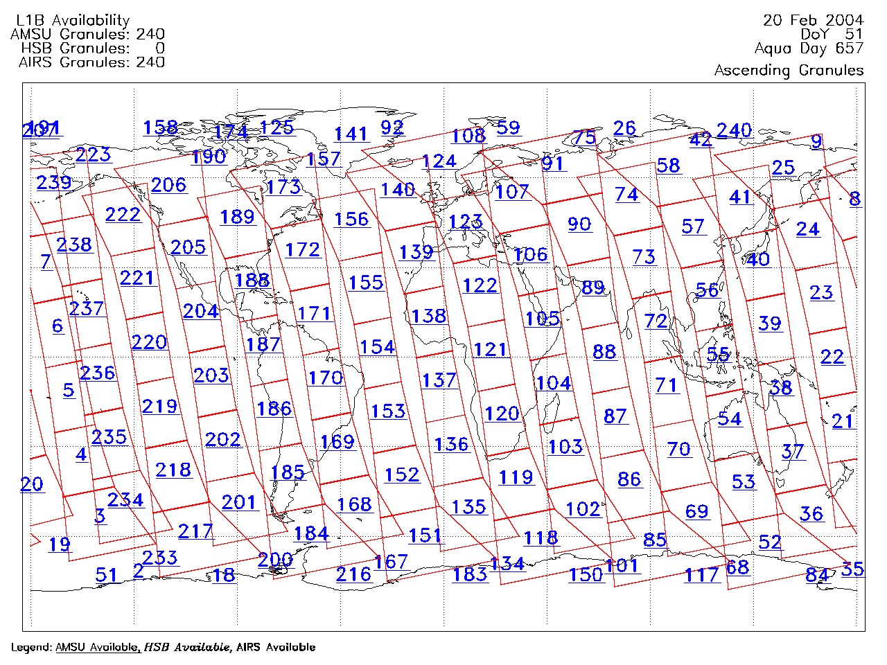
| AIRS.2004.02.20.GranuleMap.Ascending.jpg | 2012-06-06T18:00:16GMT | 657091 |
|
||||||
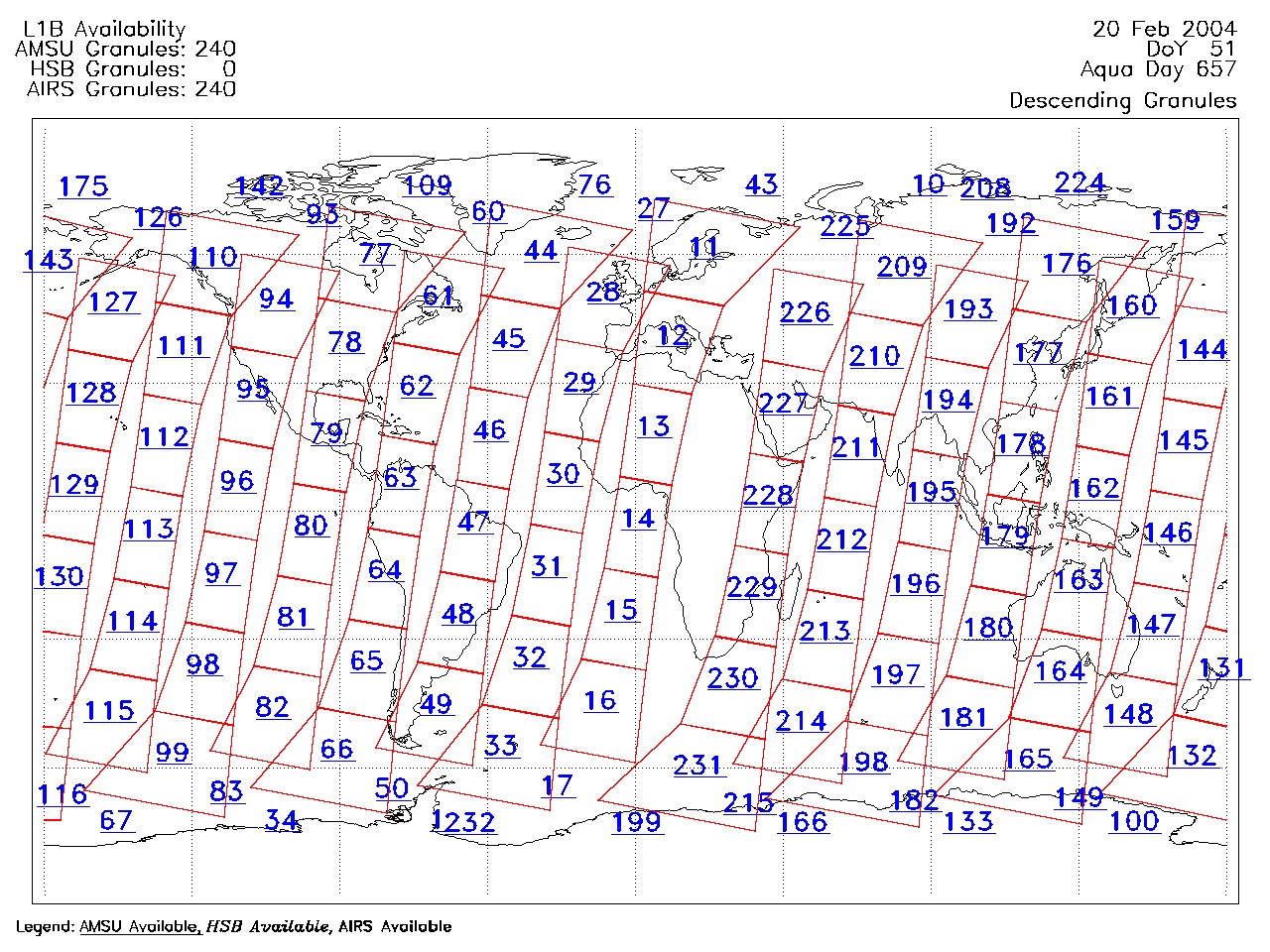
| AIRS.2004.02.20.GranuleMap.Descending.jpg | 2012-06-06T18:00:16GMT | 620039 |
|
||||||
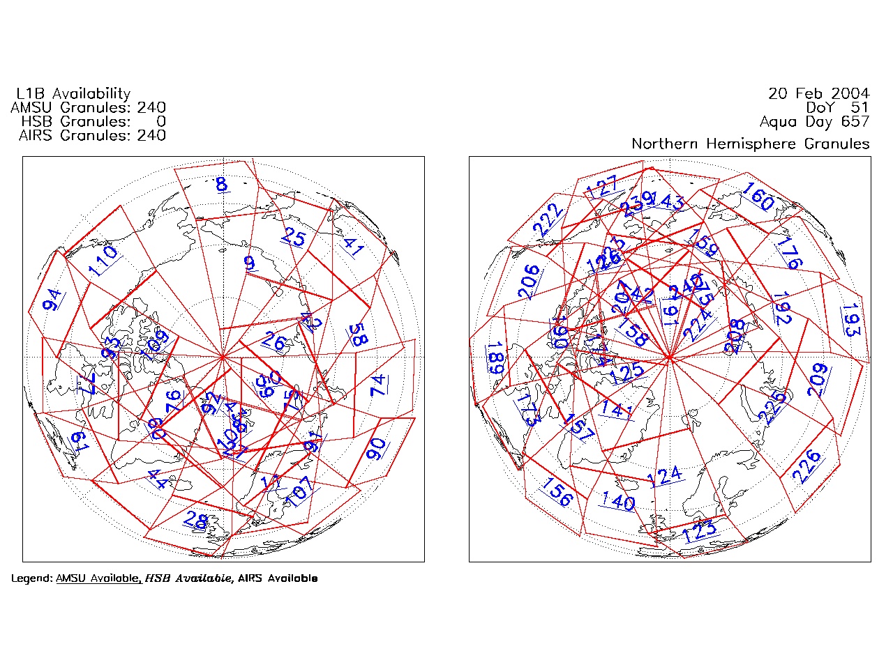
| AIRS.2004.02.20.GranuleMap.North.jpg | 2012-06-06T18:00:16GMT | 527983 |
|
||||||
| AIRS.2004.02.20.GranuleMap.South.jpg | 2012-06-06T18:00:16GMT | 498442 |
|
||||||
| AIRS.2004.02.20.GranuleMap.pdf | 2012-06-06T18:00:16GMT | 333105 |
|
||||||
| AIRS.2004.02.20.GranuleMap.xml | 2012-06-06T18:00:16GMT | 2535 |
|
|
THREDDS Catalog XML
|