| Name | Last Modified | Size | DAP Response Links | Dataset Viewers | |||||
|---|---|---|---|---|---|---|---|---|---|
| AIRS.2004.02.09.GranuleMap.Ascending.jpg | 2012-06-06T17:59:56GMT | 650446 |
|
||||||
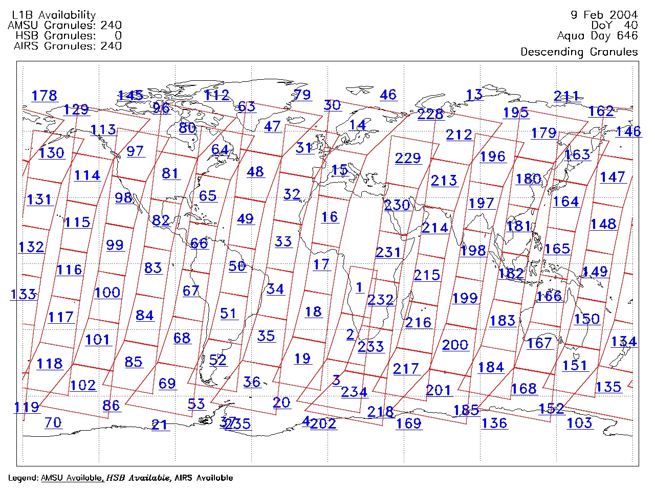
| AIRS.2004.02.09.GranuleMap.Descending.jpg | 2012-06-06T17:59:56GMT | 630106 |
|
||||||
| AIRS.2004.02.09.GranuleMap.North.jpg | 2012-06-06T17:59:56GMT | 520648 |
|
||||||
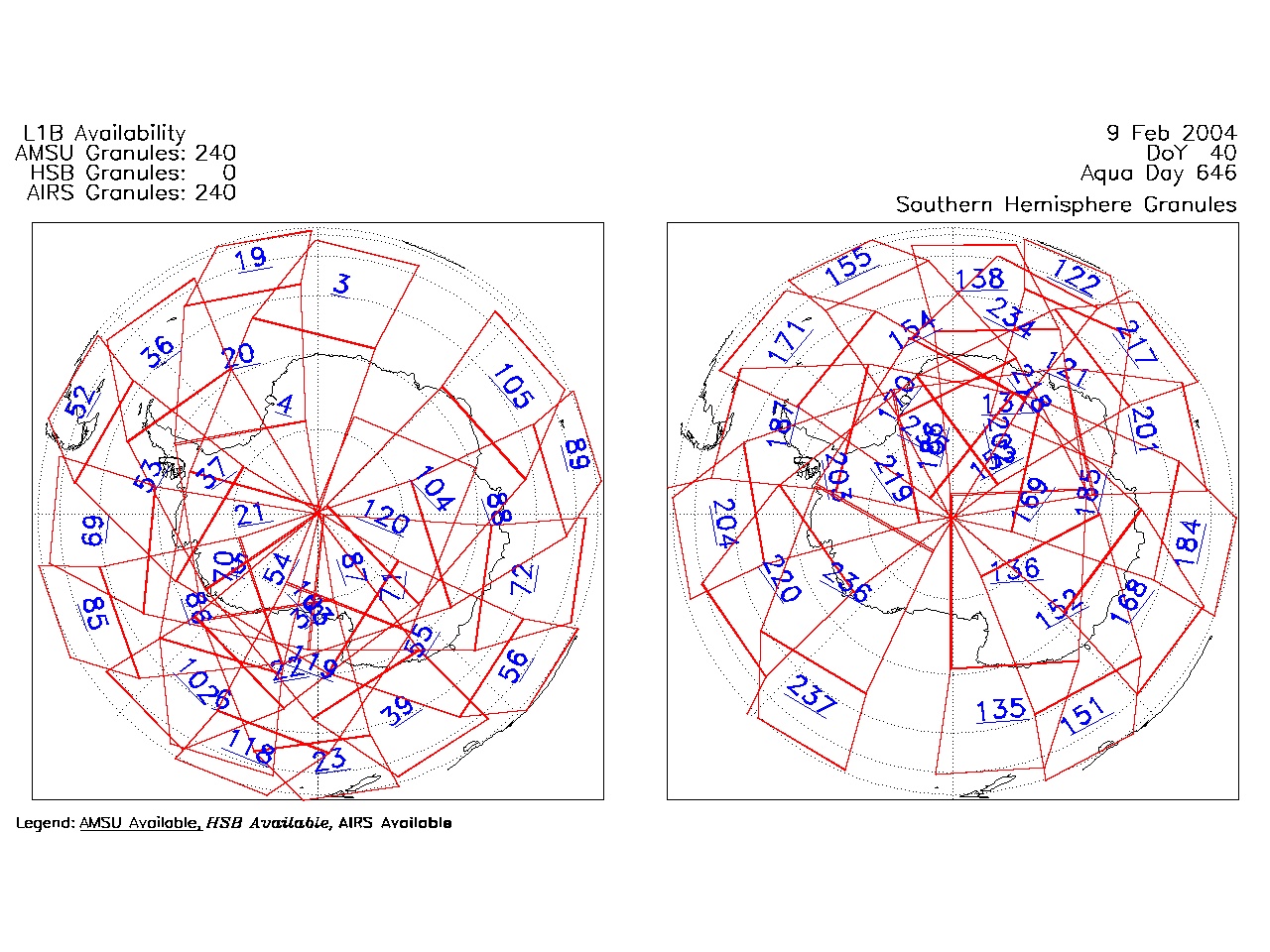
| AIRS.2004.02.09.GranuleMap.South.jpg | 2012-06-06T17:59:56GMT | 503965 |
|
||||||
| AIRS.2004.02.09.GranuleMap.pdf | 2012-06-06T17:59:56GMT | 333069 |
|
||||||
| AIRS.2004.02.09.GranuleMap.xml | 2012-06-06T17:59:56GMT | 2533 |
|
|
THREDDS Catalog XML
|