| Name | Last Modified | Size | DAP Response Links | Dataset Viewers | |||||
|---|---|---|---|---|---|---|---|---|---|
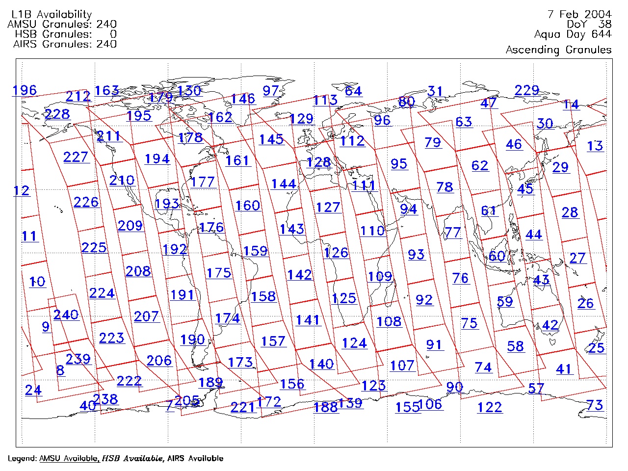
| AIRS.2004.02.07.GranuleMap.Ascending.jpg | 2012-06-06T17:59:51GMT | 640844 |
|
||||||
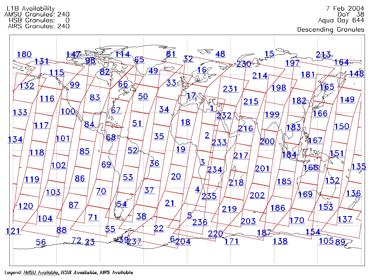
| AIRS.2004.02.07.GranuleMap.Descending.jpg | 2012-06-06T17:59:51GMT | 640139 |
|
||||||
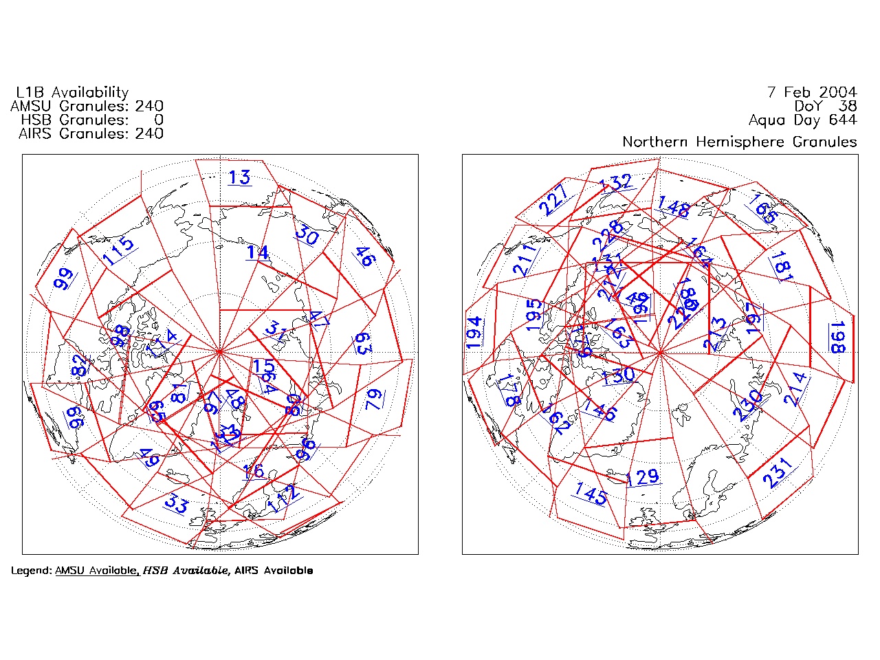
| AIRS.2004.02.07.GranuleMap.North.jpg | 2012-06-06T17:59:51GMT | 517931 |
|
||||||
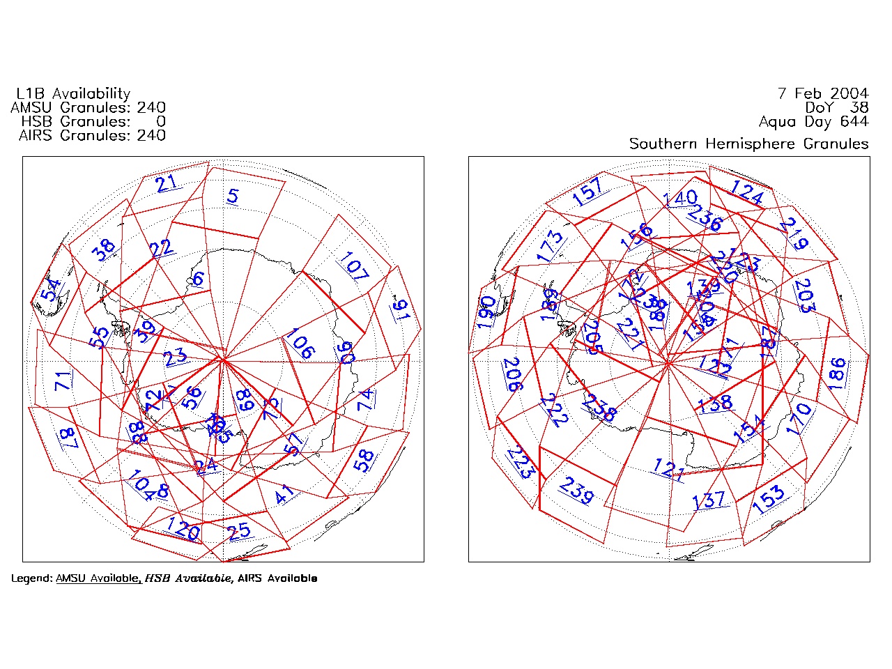
| AIRS.2004.02.07.GranuleMap.South.jpg | 2012-06-06T17:59:51GMT | 505295 |
|
||||||
| AIRS.2004.02.07.GranuleMap.pdf | 2012-06-06T17:59:51GMT | 333140 |
|
||||||
| AIRS.2004.02.07.GranuleMap.xml | 2012-06-06T17:59:51GMT | 2532 |
|
|
THREDDS Catalog XML
|