| Name | Last Modified | Size | DAP Response Links | Dataset Viewers | |||||
|---|---|---|---|---|---|---|---|---|---|
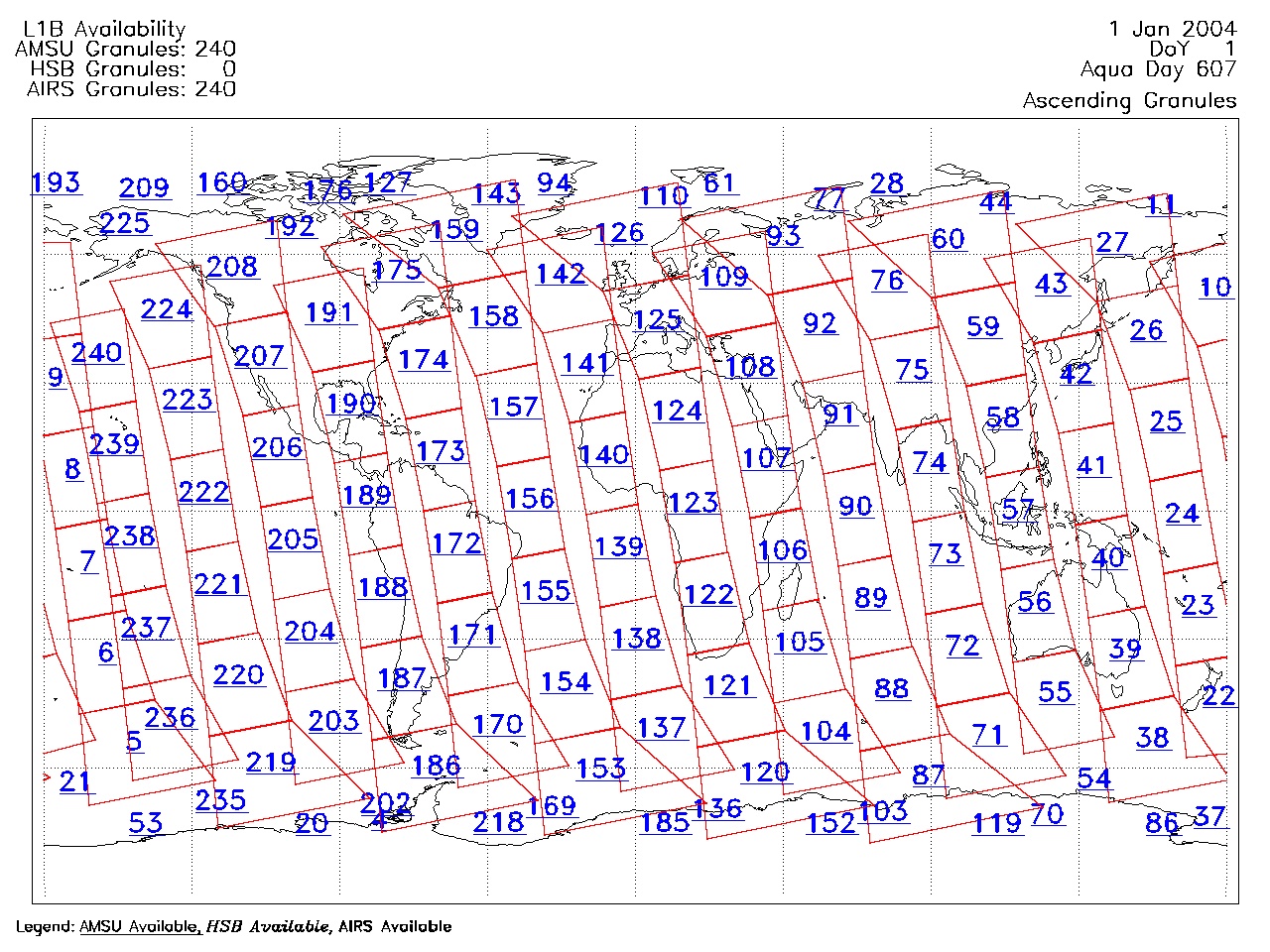
| AIRS.2004.01.01.GranuleMap.Ascending.jpg | 2012-06-06T17:58:50GMT | 650977 |
|
||||||
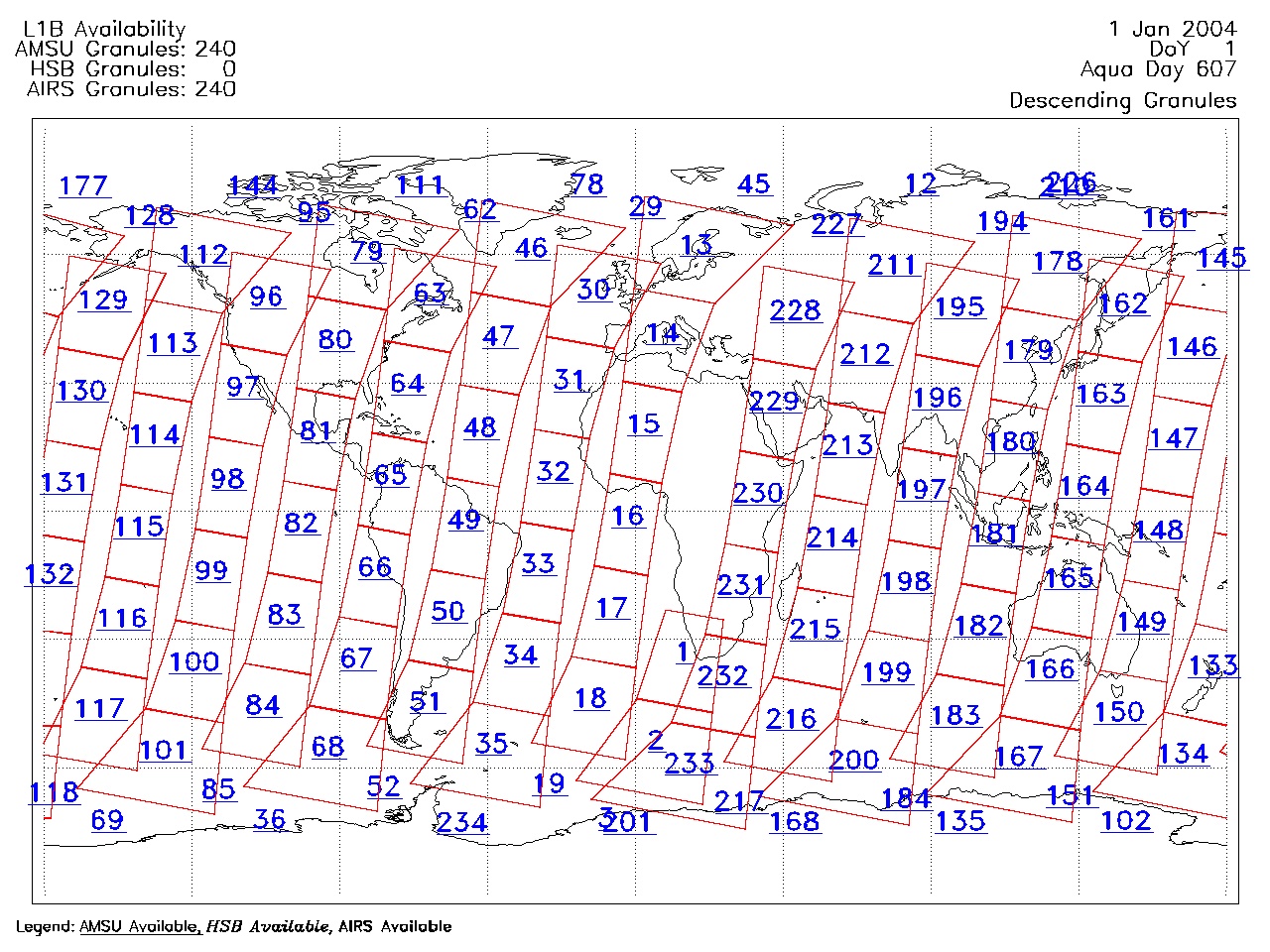
| AIRS.2004.01.01.GranuleMap.Descending.jpg | 2012-06-06T17:58:50GMT | 624780 |
|
||||||
| AIRS.2004.01.01.GranuleMap.North.jpg | 2012-06-06T17:58:50GMT | 523713 |
|
||||||
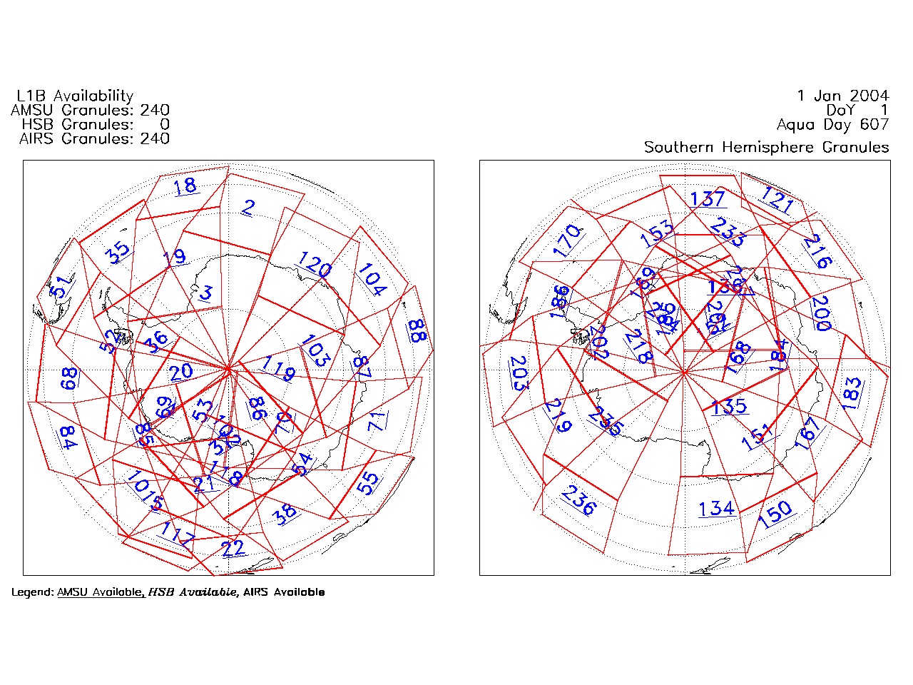
| AIRS.2004.01.01.GranuleMap.South.jpg | 2012-06-06T17:58:51GMT | 503093 |
|
||||||
| AIRS.2004.01.01.GranuleMap.pdf | 2012-06-06T17:58:50GMT | 333054 |
|
||||||
| AIRS.2004.01.01.GranuleMap.xml | 2012-06-06T17:58:51GMT | 2535 |
|
|
THREDDS Catalog XML
|