| Name | Last Modified | Size | DAP Response Links | Dataset Viewers | |||||
|---|---|---|---|---|---|---|---|---|---|
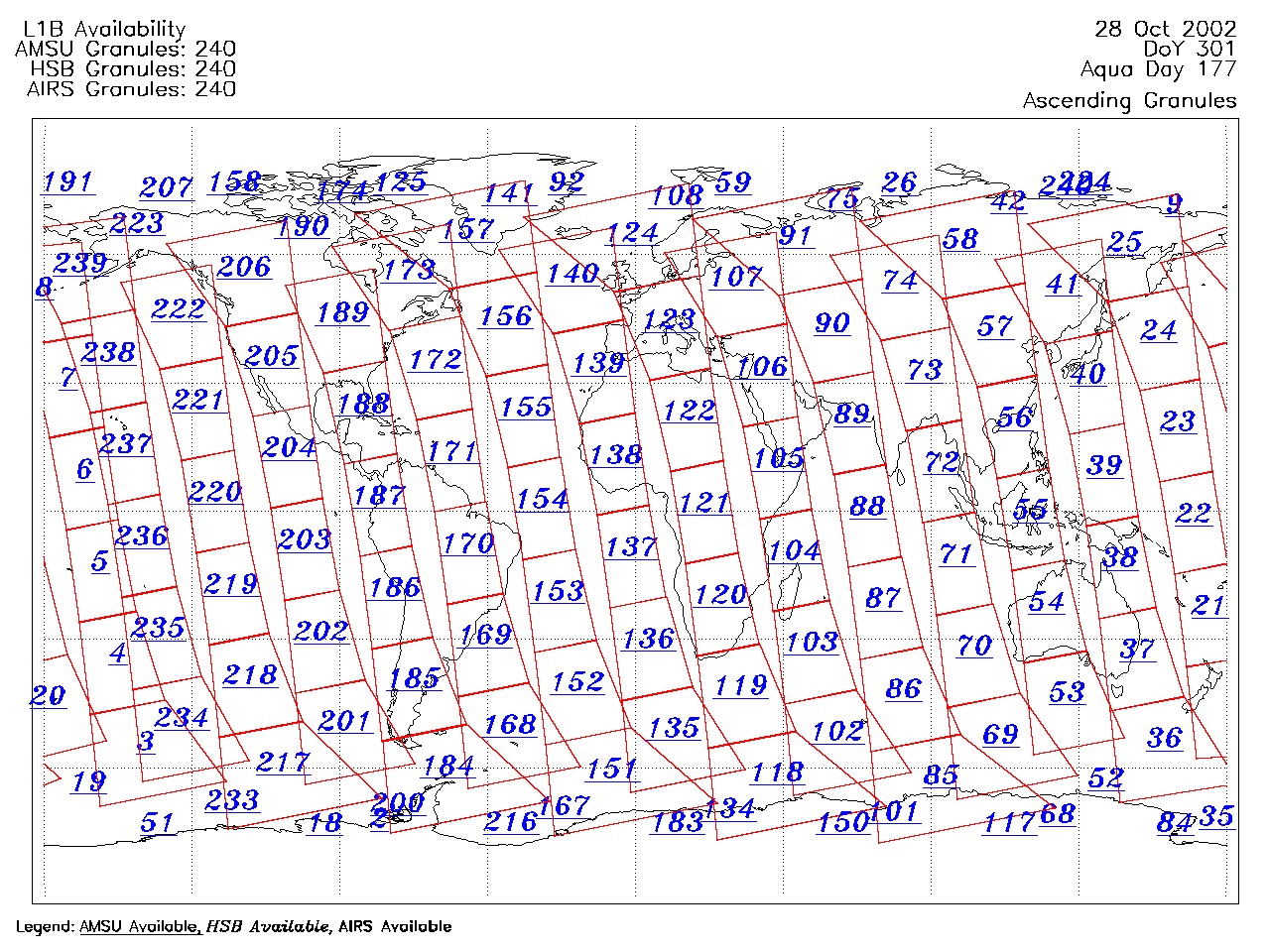
| AIRS.2002.10.28.GranuleMap.Ascending.jpg | 2012-06-06T17:45:57GMT | 671587 |
|
||||||
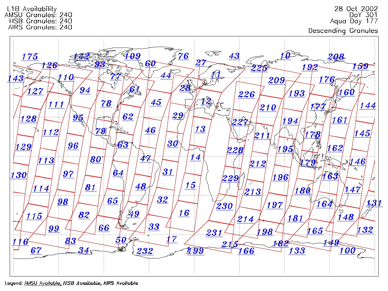
| AIRS.2002.10.28.GranuleMap.Descending.jpg | 2012-06-06T17:45:57GMT | 633504 |
|
||||||
| AIRS.2002.10.28.GranuleMap.North.jpg | 2012-06-06T17:45:57GMT | 533410 |
|
||||||
| AIRS.2002.10.28.GranuleMap.South.jpg | 2012-06-06T17:45:57GMT | 504897 |
|
||||||
| AIRS.2002.10.28.GranuleMap.pdf | 2012-06-06T17:45:57GMT | 335198 |
|
||||||
| AIRS.2002.10.28.GranuleMap.xml | 2012-06-06T17:45:57GMT | 2533 |
|
|
THREDDS Catalog XML
|