| Name | Last Modified | Size | DAP Response Links | Dataset Viewers | |||||
|---|---|---|---|---|---|---|---|---|---|
| AIRS.2002.09.26.GranuleMap.Ascending.jpg | 2012-06-06T17:45:06GMT | 671425 |
|
||||||
| AIRS.2002.09.26.GranuleMap.Descending.jpg | 2012-06-06T17:45:06GMT | 633657 |
|
||||||
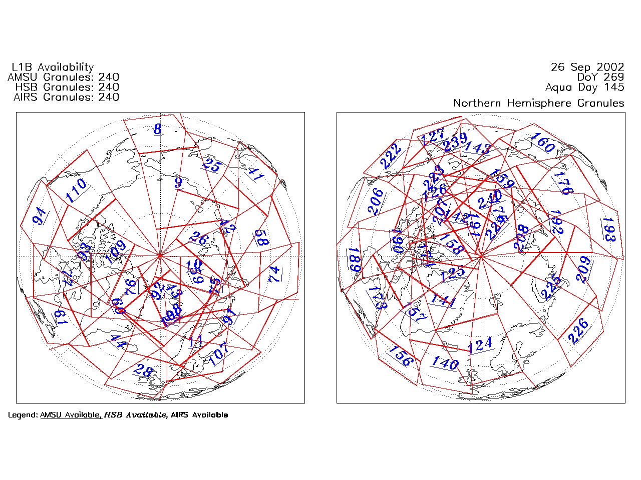
| AIRS.2002.09.26.GranuleMap.North.jpg | 2012-06-06T17:45:06GMT | 528075 |
|
||||||
| AIRS.2002.09.26.GranuleMap.South.jpg | 2012-06-06T17:45:06GMT | 507523 |
|
||||||
| AIRS.2002.09.26.GranuleMap.pdf | 2012-06-06T17:45:06GMT | 335176 |
|
||||||
| AIRS.2002.09.26.GranuleMap.xml | 2012-06-06T17:45:06GMT | 2534 |
|
|
THREDDS Catalog XML
|