| Name | Last Modified | Size | DAP Response Links | Dataset Viewers | |||||
|---|---|---|---|---|---|---|---|---|---|
| AIRS.2002.06.23.GranuleMap.Ascending.jpg | 2012-06-06T17:42:23GMT | 547310 |
|
||||||
| AIRS.2002.06.23.GranuleMap.Descending.jpg | 2012-06-06T17:42:23GMT | 564601 |
|
||||||
| AIRS.2002.06.23.GranuleMap.North.jpg | 2012-06-06T17:42:23GMT | 465620 |
|
||||||
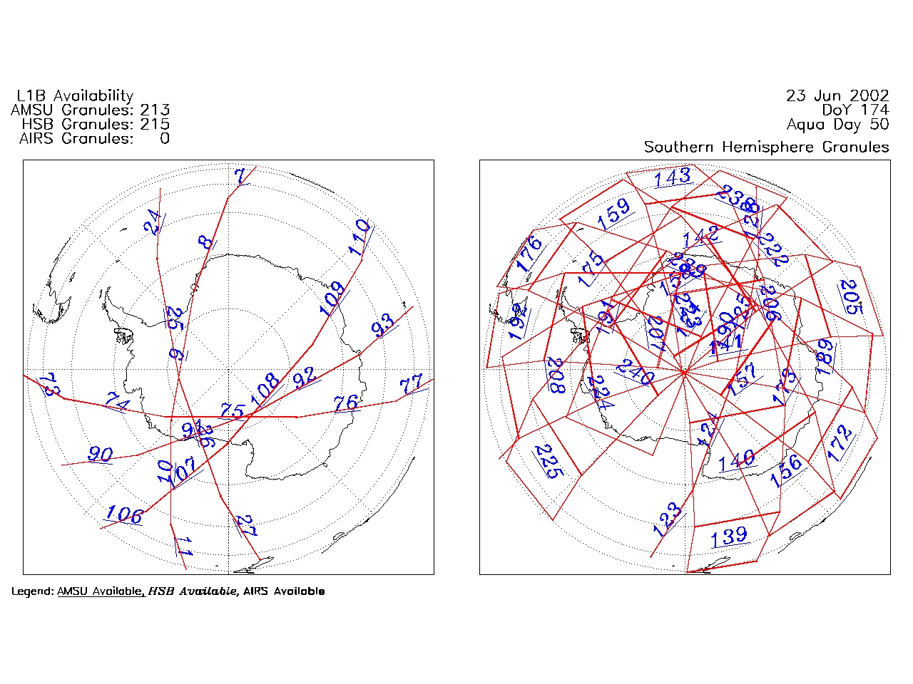
| AIRS.2002.06.23.GranuleMap.South.jpg | 2012-06-06T17:42:23GMT | 415032 |
|
||||||
| AIRS.2002.06.23.GranuleMap.pdf | 2012-06-06T17:42:23GMT | 330754 |
|
||||||
| AIRS.2002.06.23.GranuleMap.xml | 2012-06-06T17:42:23GMT | 2534 |
|
|
THREDDS Catalog XML
|