| Name | Last Modified | Size | DAP Response Links | Dataset Viewers | |||||
|---|---|---|---|---|---|---|---|---|---|
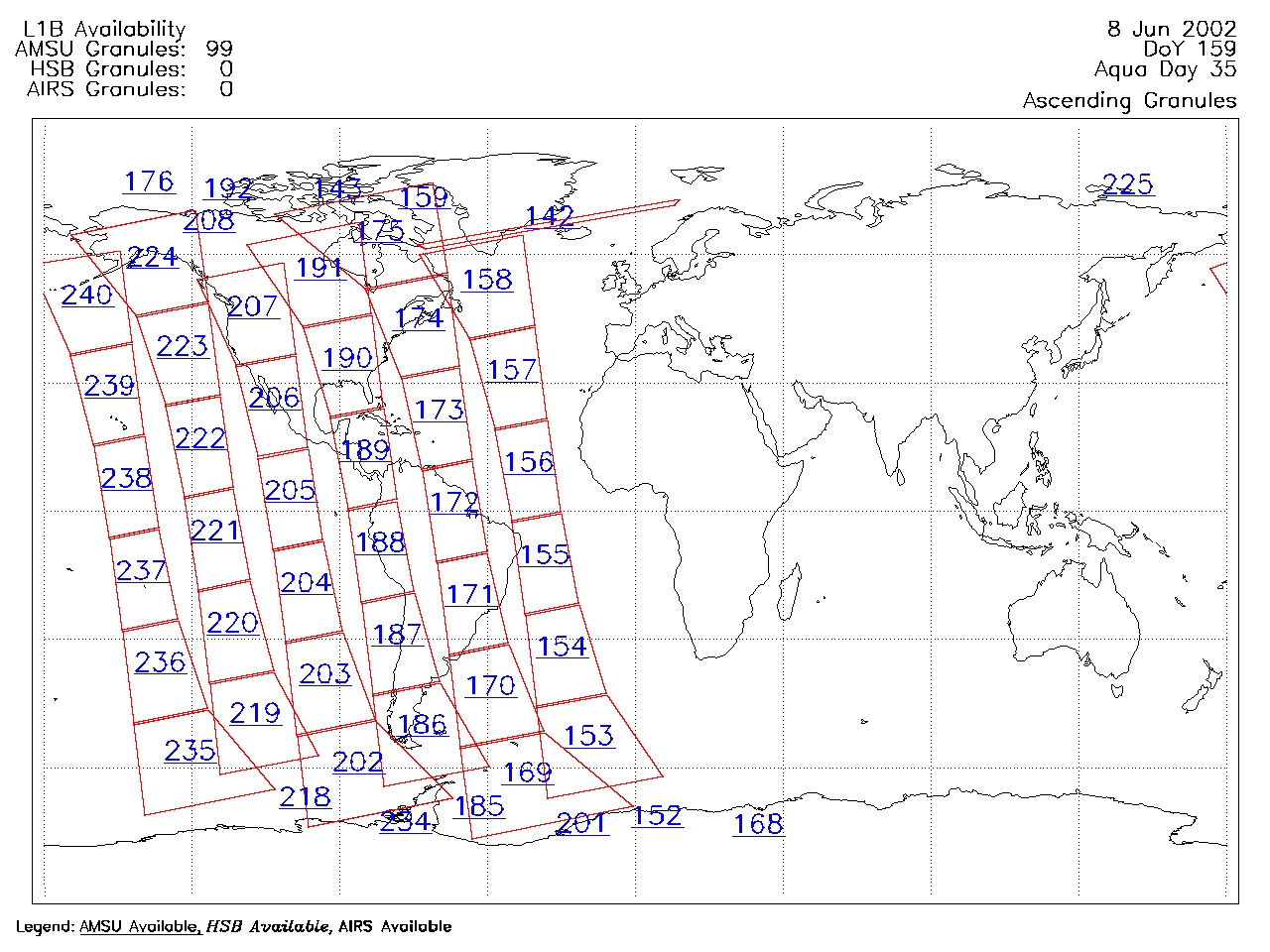
| AIRS.2002.06.08.GranuleMap.Ascending.jpg | 2012-06-06T17:41:58GMT | 433904 |
|
||||||
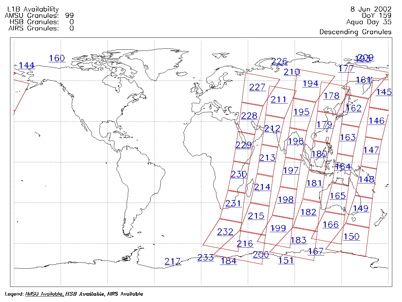
| AIRS.2002.06.08.GranuleMap.Descending.jpg | 2012-06-06T17:41:58GMT | 425767 |
|
||||||
| AIRS.2002.06.08.GranuleMap.North.jpg | 2012-06-06T17:41:58GMT | 402706 |
|
||||||
| AIRS.2002.06.08.GranuleMap.South.jpg | 2012-06-06T17:41:58GMT | 352393 |
|
||||||
| AIRS.2002.06.08.GranuleMap.pdf | 2012-06-06T17:41:57GMT | 310082 |
|
||||||
| AIRS.2002.06.08.GranuleMap.xml | 2012-06-06T17:41:58GMT | 2532 |
|
|
THREDDS Catalog XML
|