| Name | Last Modified | Size | DAP Response Links | Dataset Viewers | |||||
|---|---|---|---|---|---|---|---|---|---|
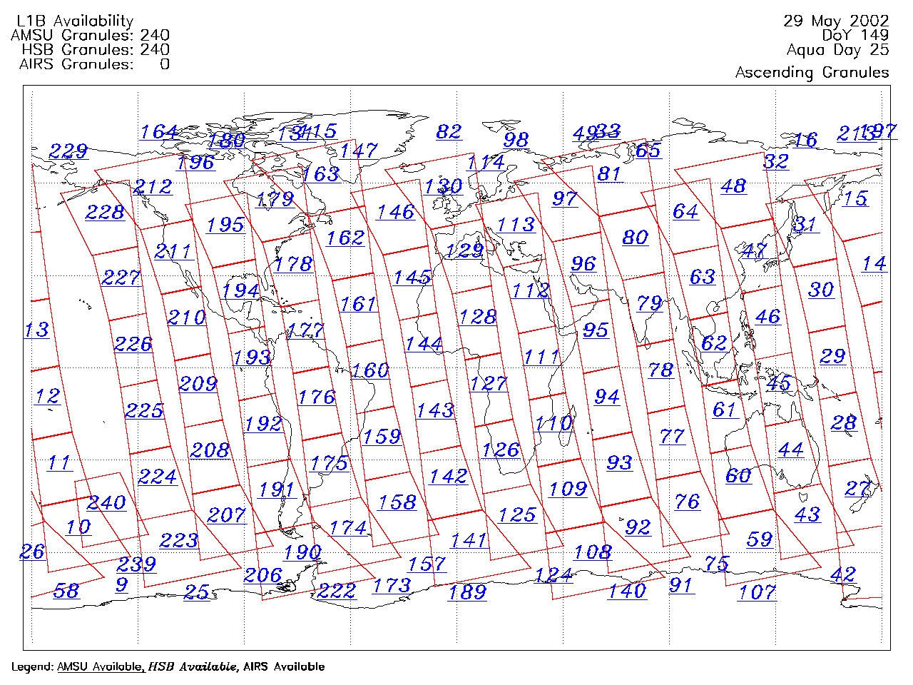
| AIRS.2002.05.29.GranuleMap.Ascending.jpg | 2012-06-06T17:41:38GMT | 639520 |
|
||||||
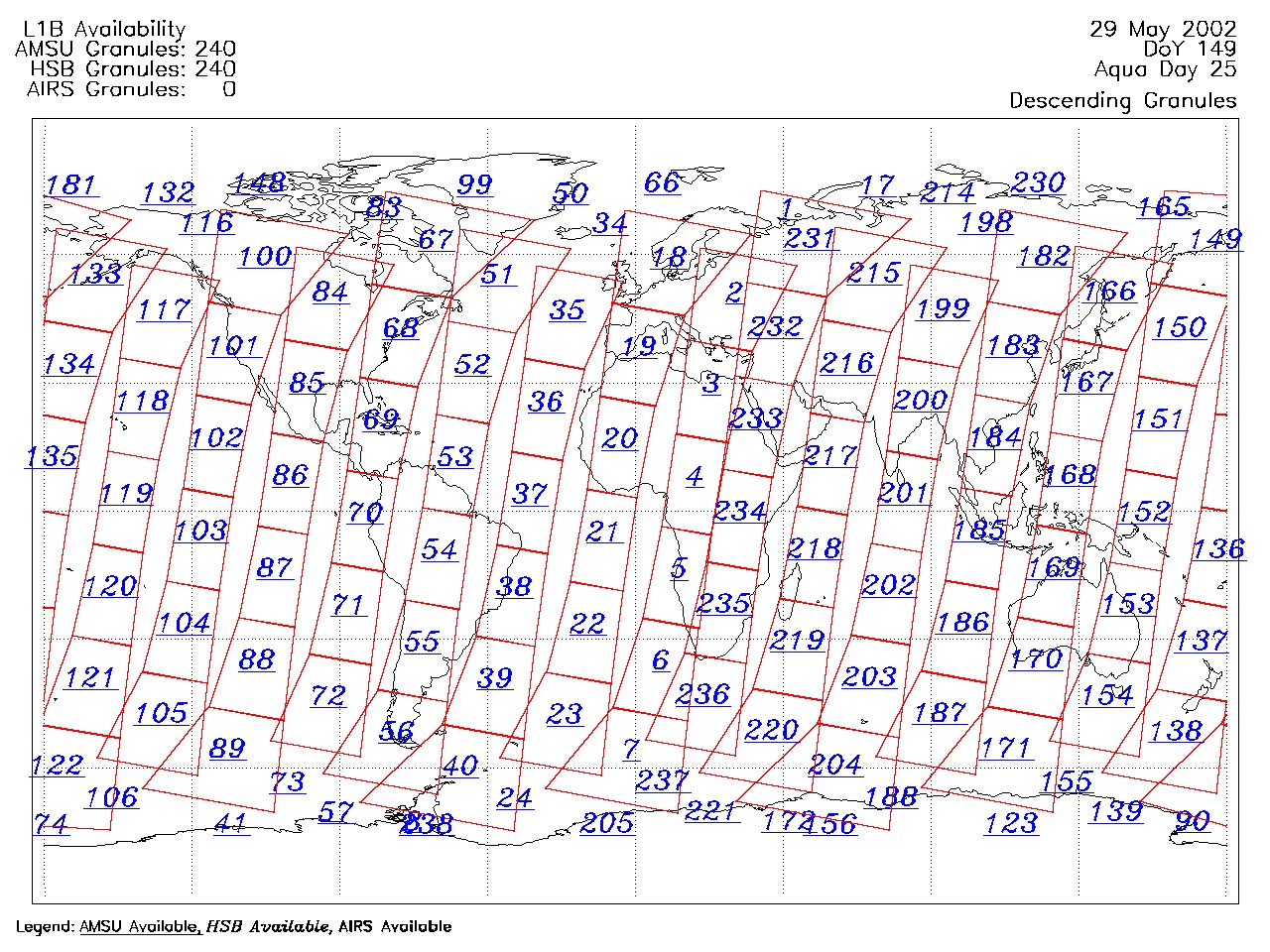
| AIRS.2002.05.29.GranuleMap.Descending.jpg | 2012-06-06T17:41:38GMT | 653796 |
|
||||||
| AIRS.2002.05.29.GranuleMap.North.jpg | 2012-06-06T17:41:38GMT | 525389 |
|
||||||
| AIRS.2002.05.29.GranuleMap.South.jpg | 2012-06-06T17:41:38GMT | 499799 |
|
||||||
| AIRS.2002.05.29.GranuleMap.pdf | 2012-06-06T17:41:37GMT | 333932 |
|
||||||
| AIRS.2002.05.29.GranuleMap.xml | 2012-06-06T17:41:38GMT | 2534 |
|
|
THREDDS Catalog XML
|